2022 according to google / waypoint maintenance
2022 according to Google
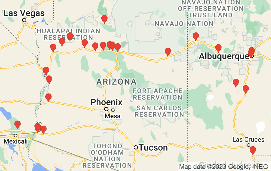
Yep, looks right
yearly waypoint maintenance
I collect waypoints if I think they will be useful later. I mark:
- places to boondock
- places to stealth park at night
- places to stay during the day: parks, etc
- places to source water (free or otherwise)
export from OSMAND
update individual .csv files
- enter lat/long
- add elevation if not present. I use this site to get elevation from lat/long. Comes from a Digital Elevation Mapset, I’d imagine. Accurate enough for my uses.
- decipher notes and normalize them. I often have to load the coordinates into Google Maps to remember the site.
- sort
- dedupe
A waypoint description that will need deciphering might look like:
35.2xxxx,-111.61xx 7k pit 1bT 2bV lo traffic
which means
- the lat/long (truncated here to avoid exposing it on the web)
- about 7,000ft elevation (actual 6,845ft)
- existing fire pit
- 1 bar T-Mobile
- 2 bars Verizon
- not much through traffic
generate normalized .gpx and .csv
This part’s easy once you’ve written the scripting. GPSbabel handles the slicing/dicing and conversion to .gpx
import back into Google Maps and OsmAnd

- delete existing waypoints
- upload new dataset
This allows me to see the waypoints in both pieces of software. Glad it’s done so I don’t have to do it again for another year!
comments
mastodon comment thread for this post
twitter comment thread for this post