a walk to the west
I’ve been wanting to walk up the hill to the west but an attentive bull has been hanging around the last several days, trolling back and forth on this side of the hill, vocalizing softly but constantly. First day he appeared he looked straight at me and now he’s been hanging around.
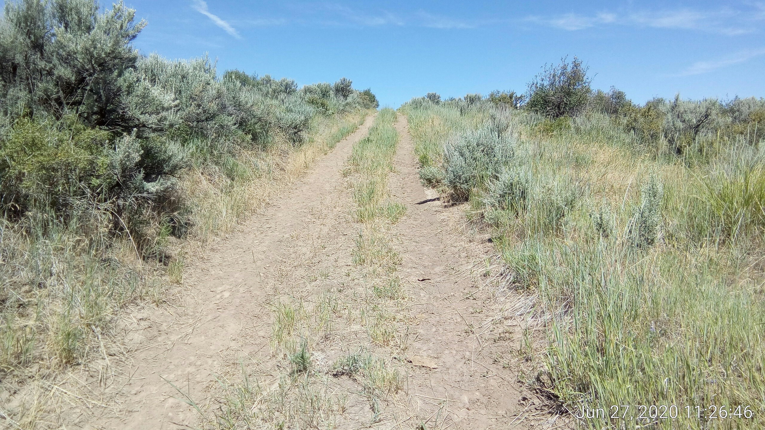
Today he wasn’t there so I grabbed the daypack, the dog, and the Multipurpose Walking Stick and headed out.
The other day when I was looking on Google Maps I saw what appeared to be irregularly-shaped denuded spaces but thought it was an artifact of image stitching. But I saw today they are really there:
[caption id=”” align=”alignnone” width=”2560”]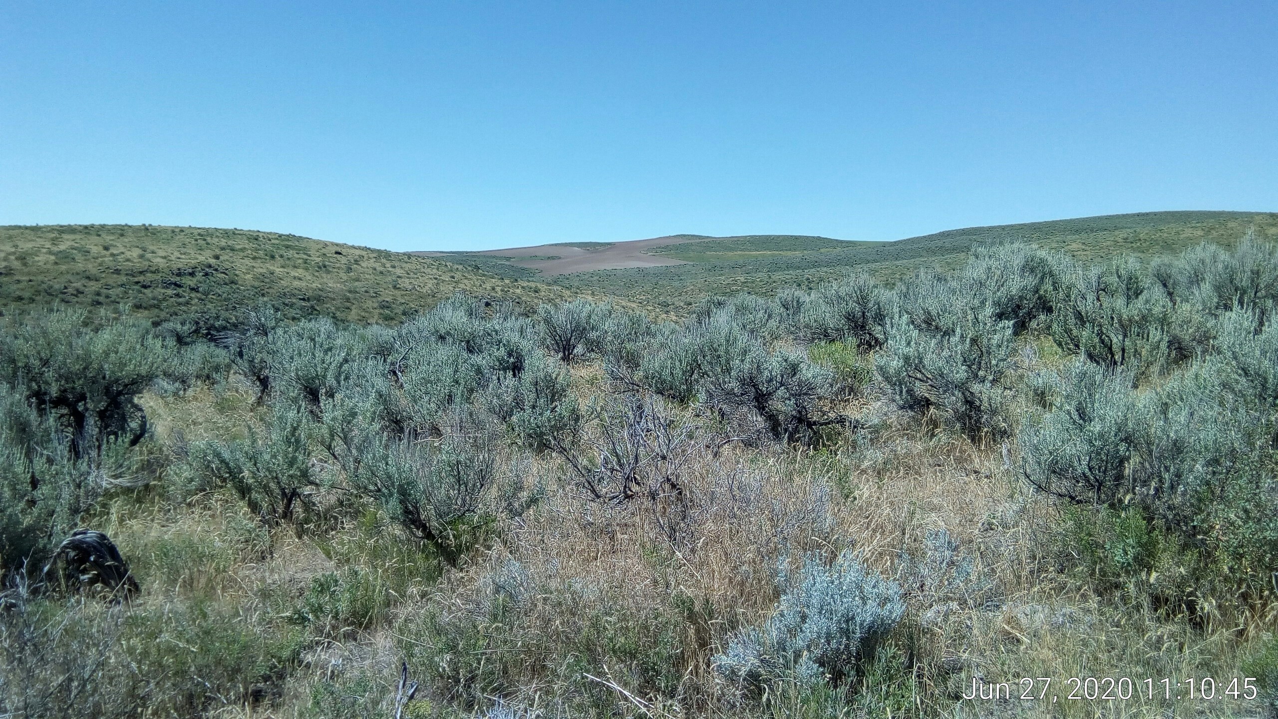 looking south[/caption]
digital zoom of the above:
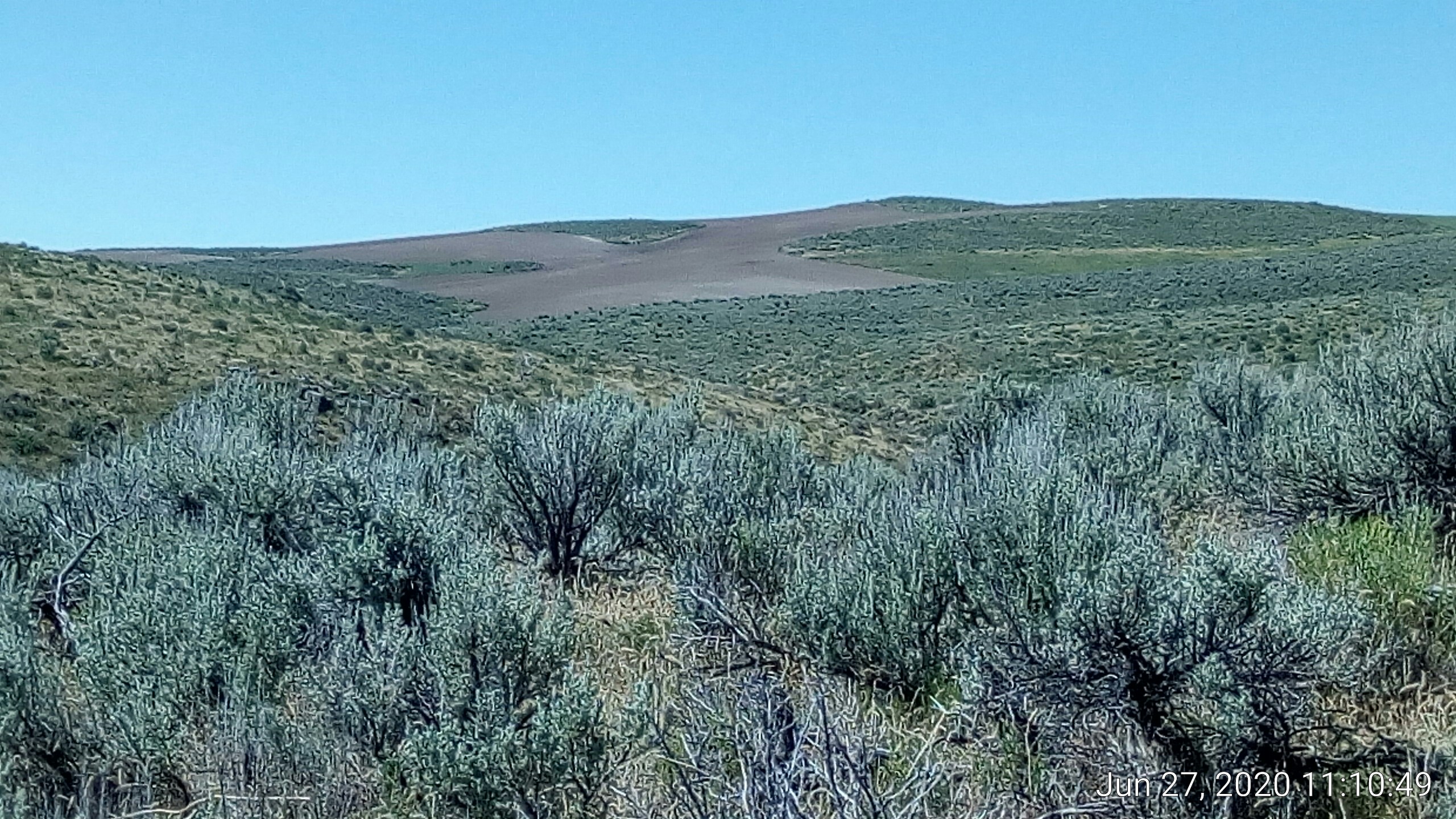
a bit further up the hill we could see what appears to be some kind of yellow blooming agricultural crop in similar irregular spaces:
I don’t get it.
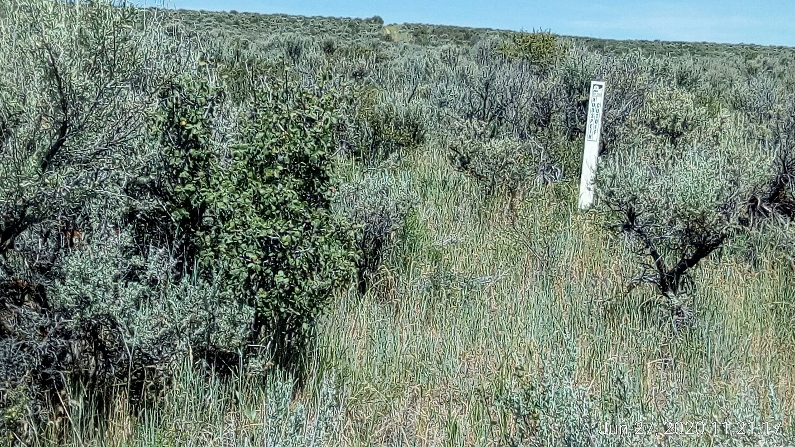
This NF marker says “Hudspeth Cutoff”, which is the Oregon Trail shortcut we discussed before:
Parts of the trail was pretty steep. This pic is looking out parallel to wear we are standing:
Quite a rise. Dog and I were panting and moving pretty slow on that one.
Bonus: there is another Hudspeth marker at the horizon line about 1/3rd the way in from the right edge.
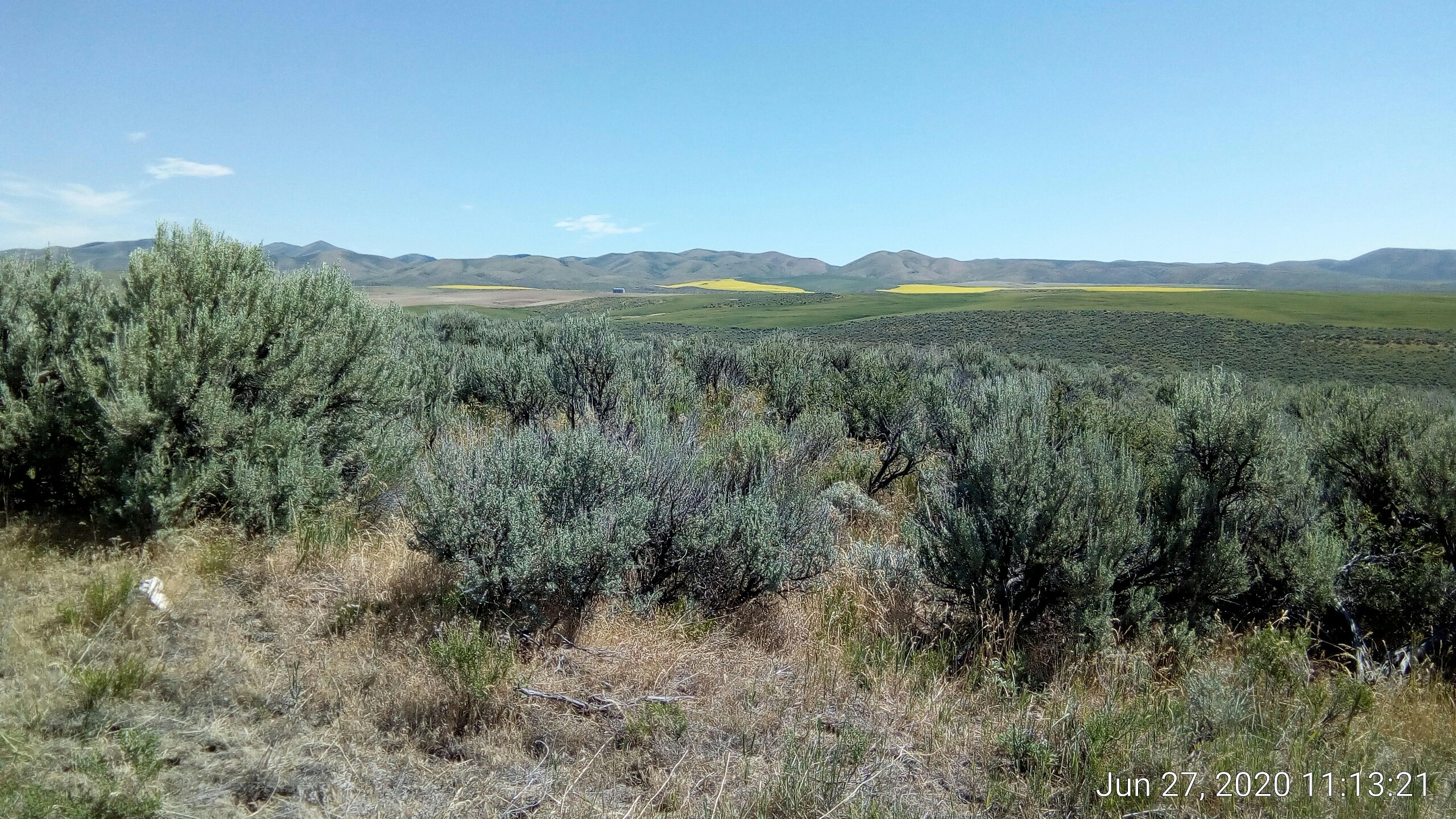
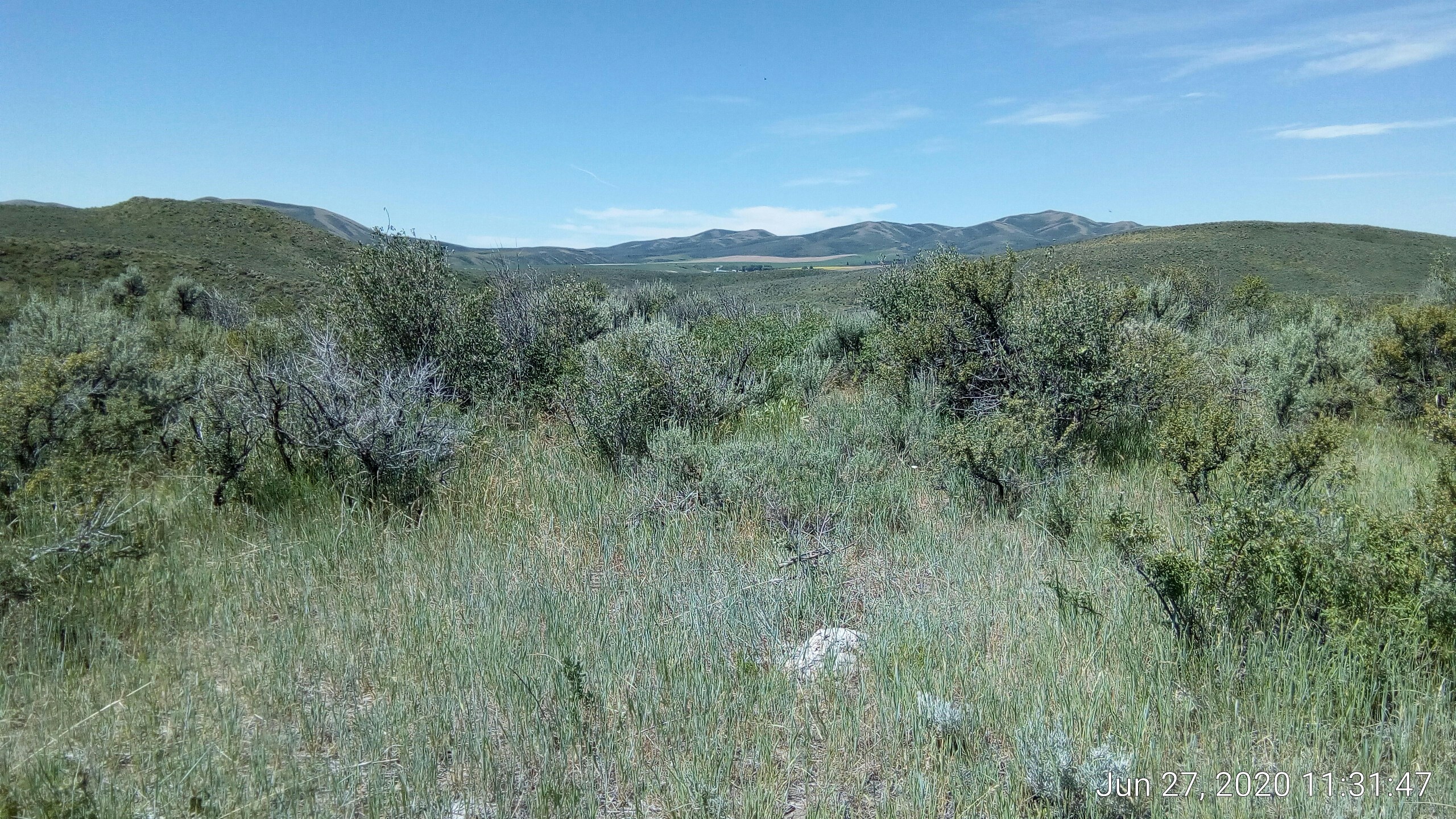
Looking west, there is a farmhouse down in the valley:
Our tongues were hanging out:
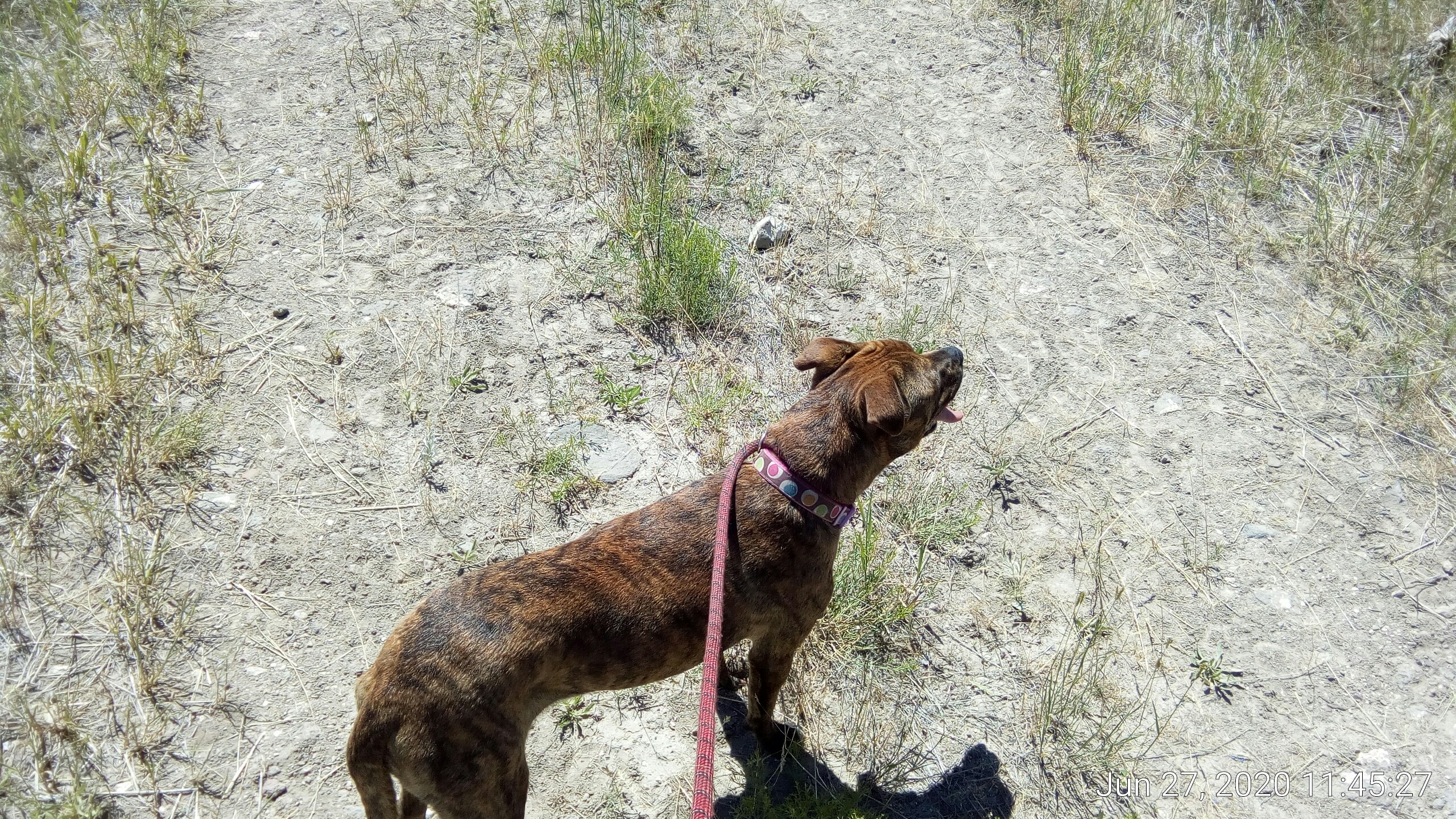
…. so we drank some water. We turned around to head back and took this pic before returning:
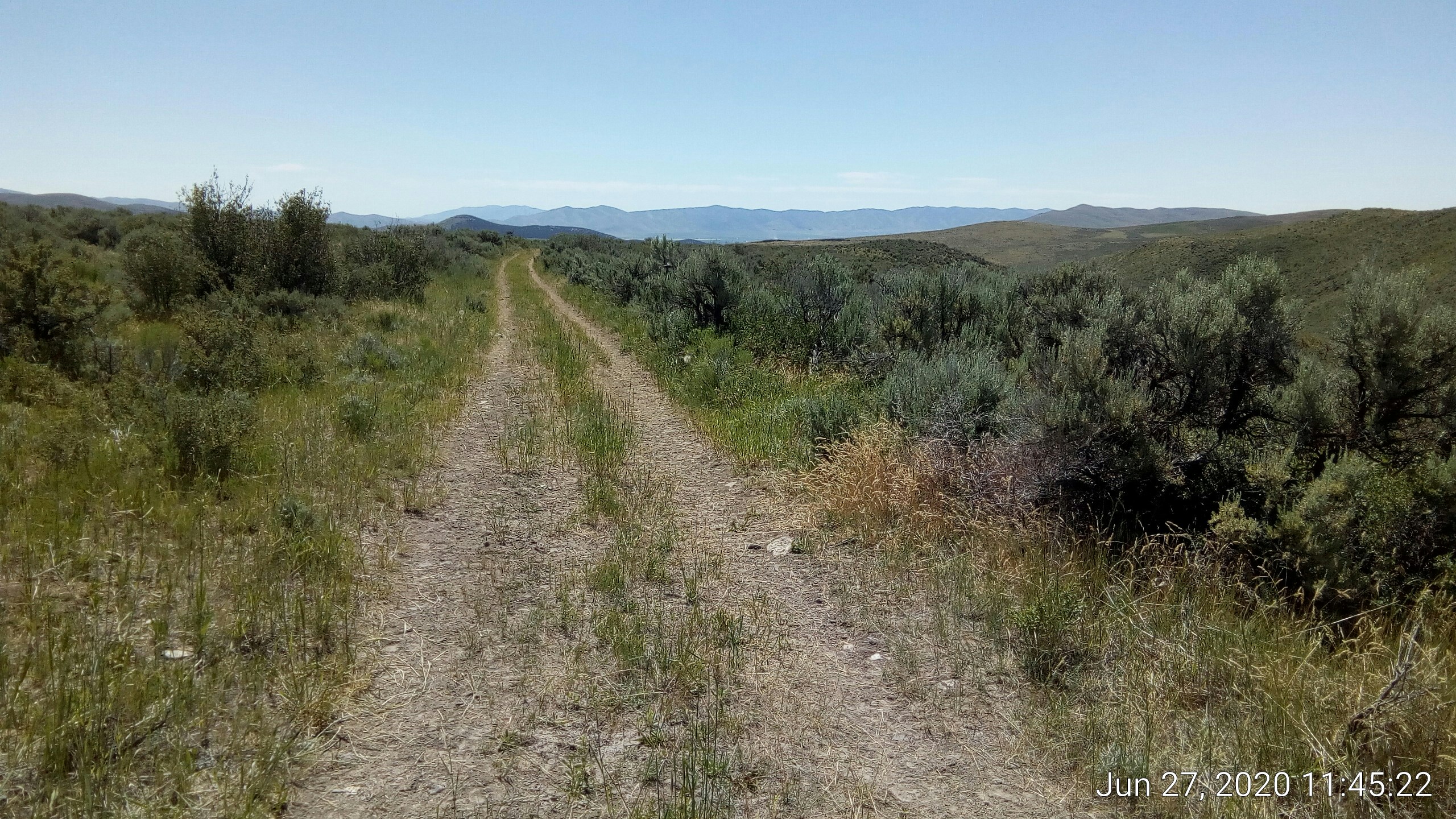
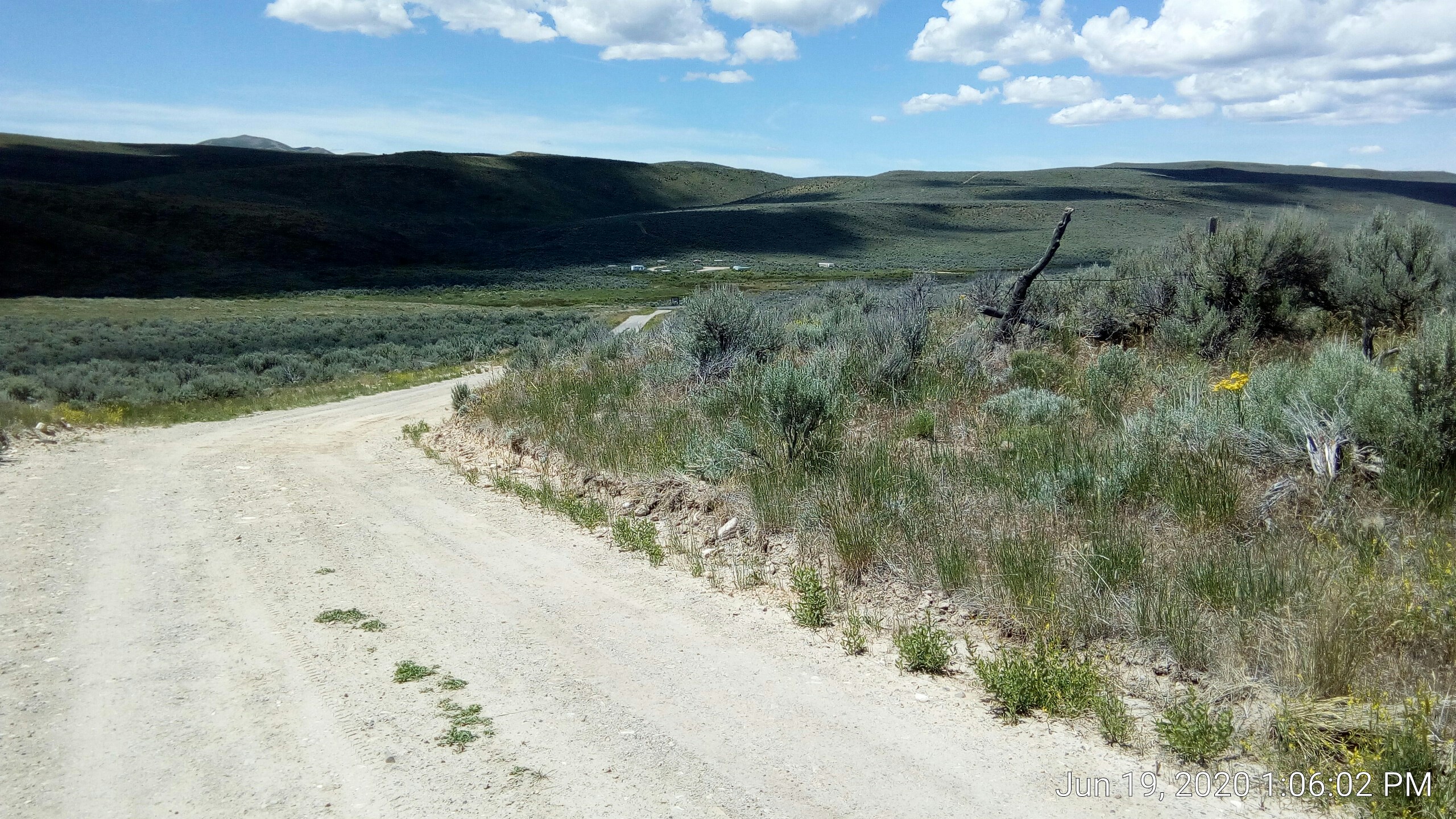
Because of the shape of the hills you’re pretty close to the camp before you can see it again:
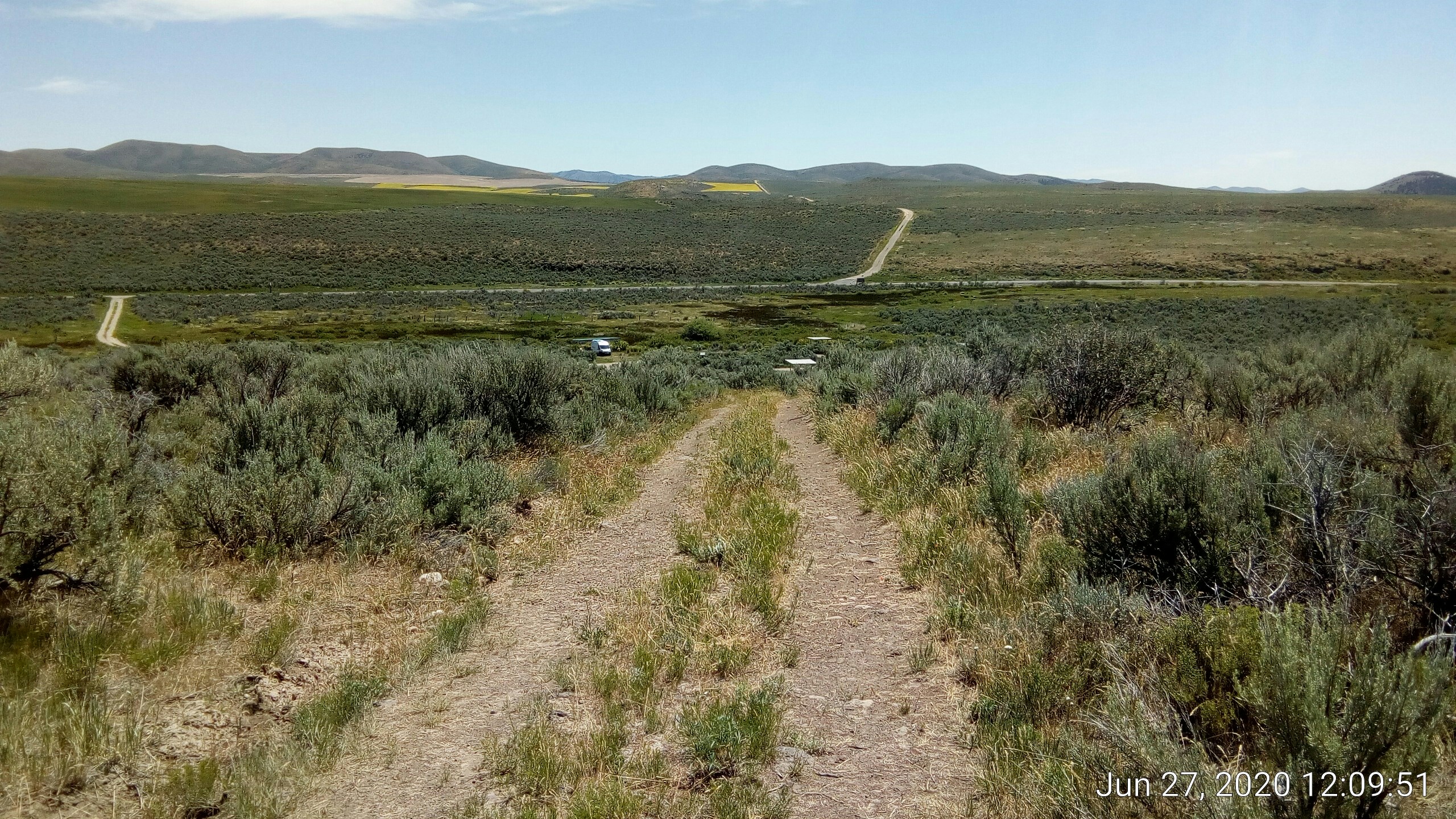
See the road going up the hill to the east? That crest is where this pic was taken:
The positions are indicated here:
[caption id=”” align=”alignnone” width=”2560”]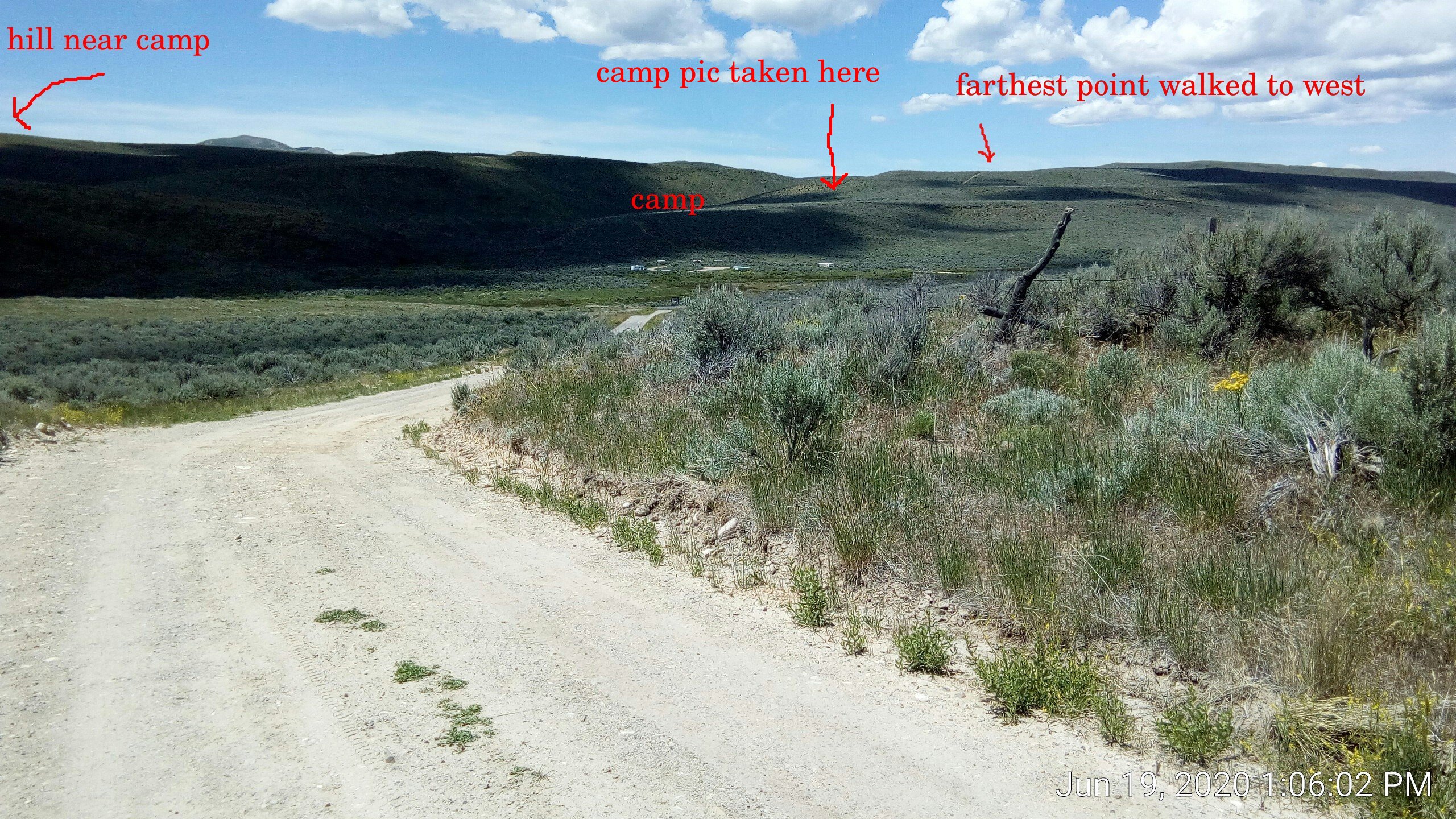 east of camp looking west[/caption]
[caption id=”” align=”alignnone” width=”2560”]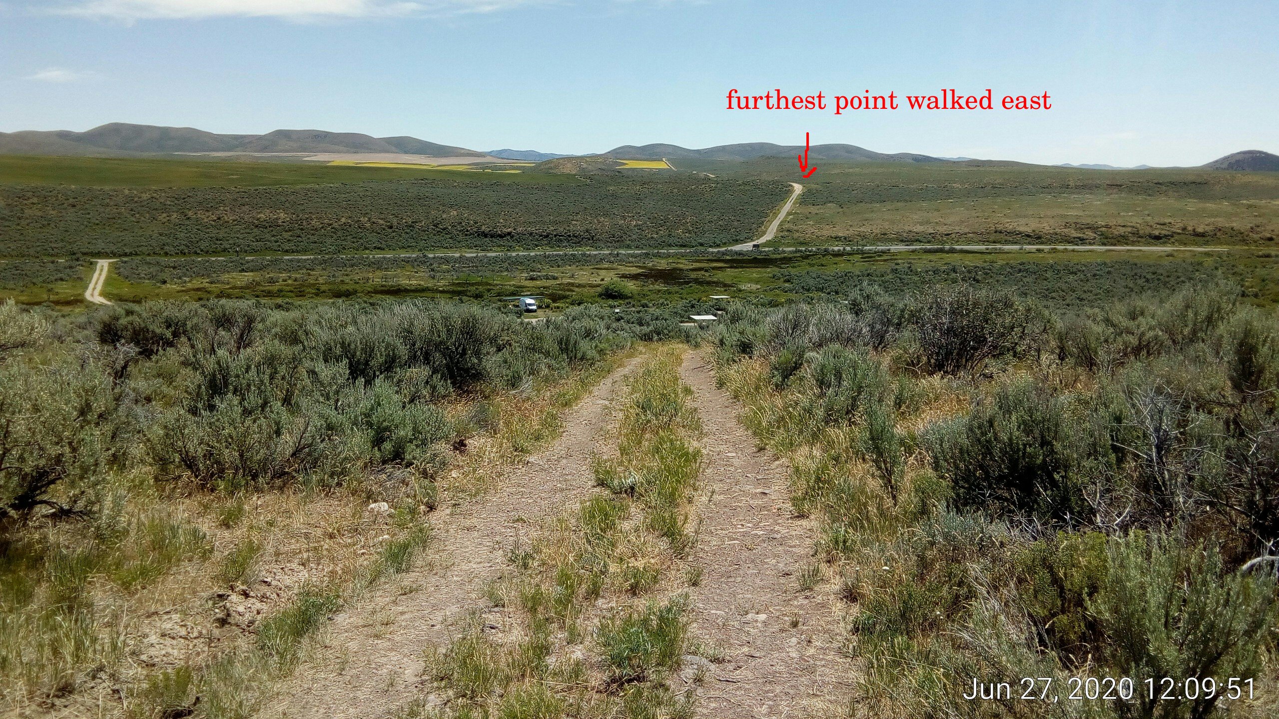 west of camp looking east[/caption]
[caption id=”” align=”alignnone” width=”2560”]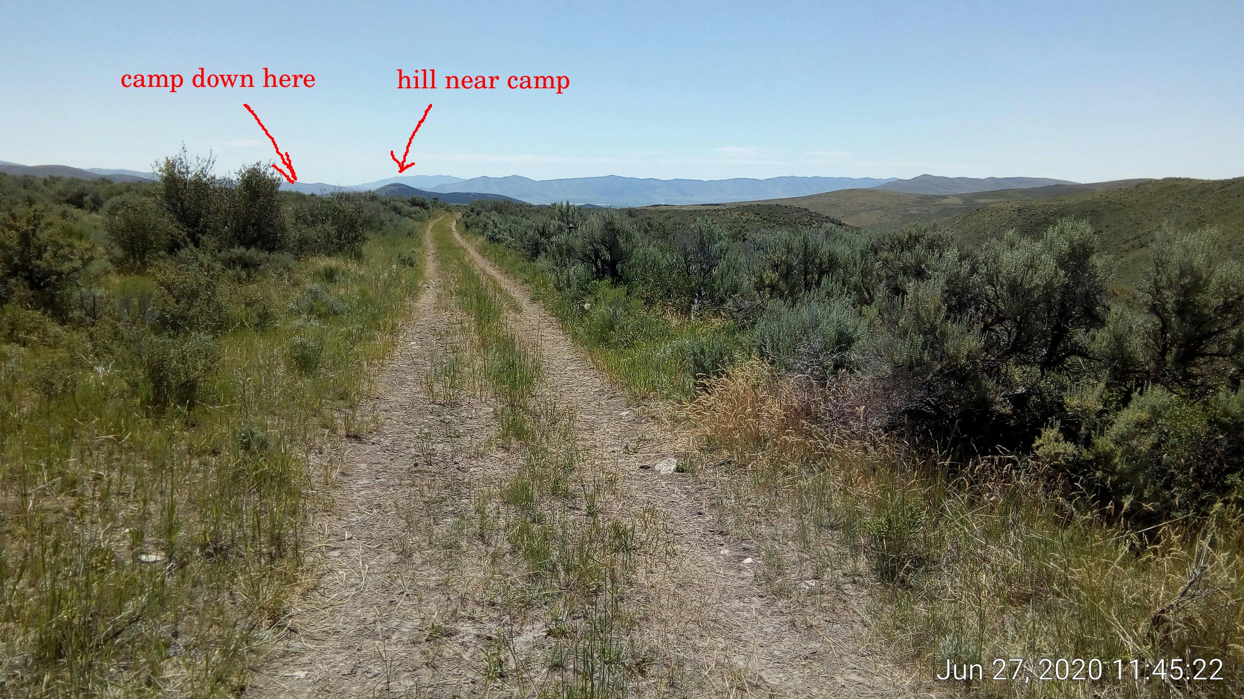 far WNW of camp looking ESE[/caption]