daily cardio: Colorado Trail and subsequent mistakes
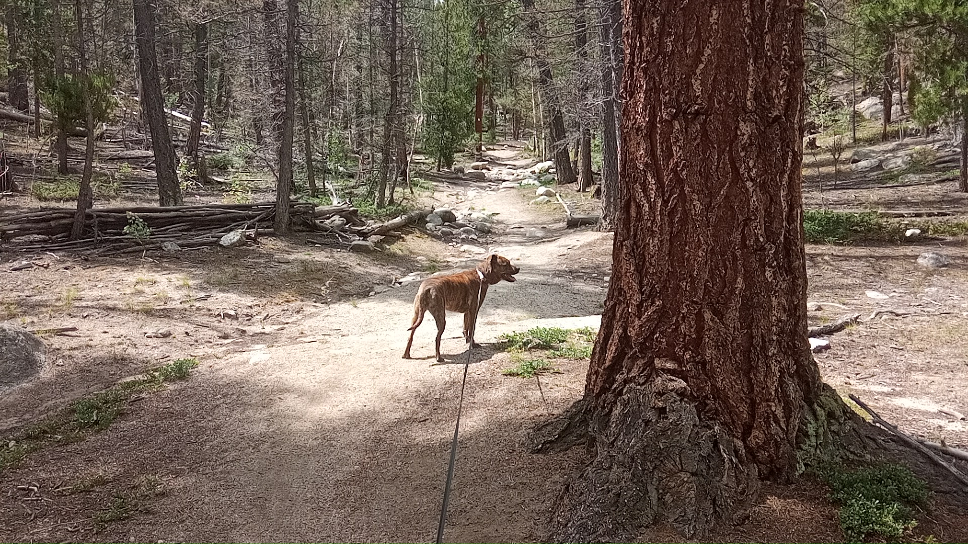
Yesterday Muffin and I walked north on FS272 a ways. We saw a trail heading west marked RESTORATION AREA, generally signifying no cmaping or motor vehicles in the area. We walked maybe 200yd down the trail but it was noon (sunny) and I wasn’t prepared for a long walk.
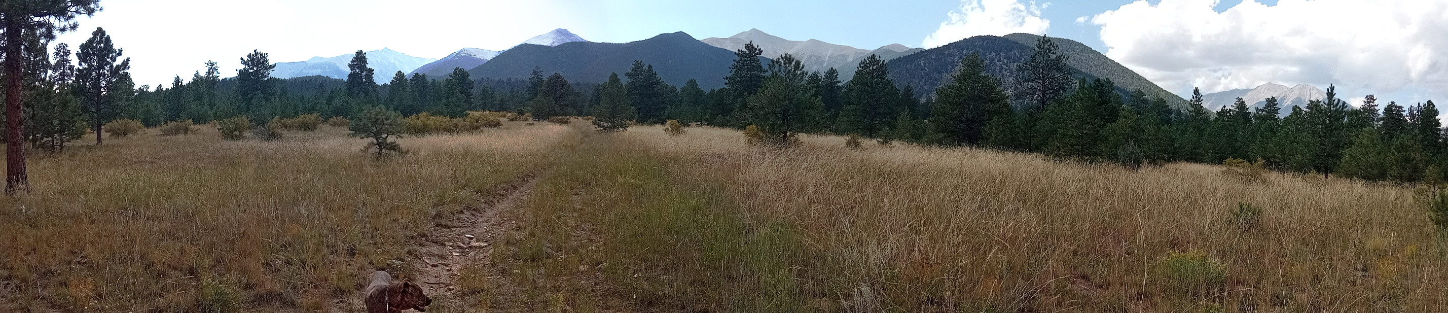
Today we returned at around 1030 when it was cooler. Here is a pano from the spot where we turned around yesterday:
I had on hiking boots, had the staff and some water. Let’s see where this goes.
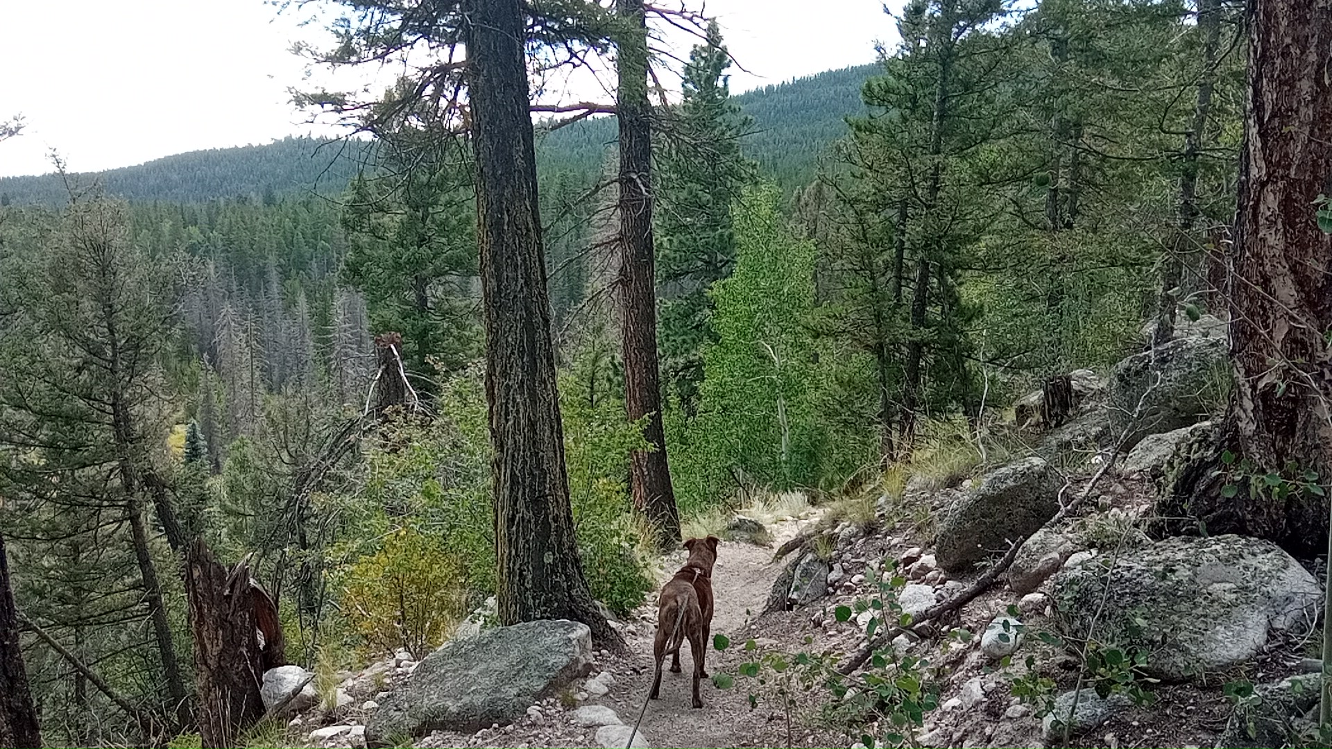
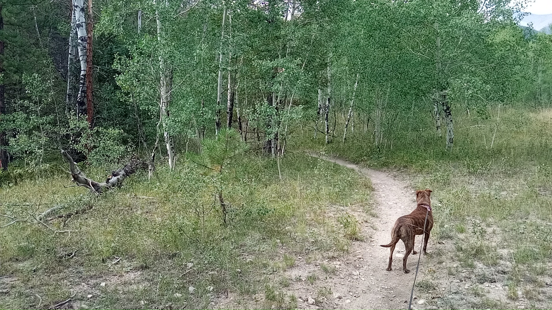 After maybe a half hour we dead-ended into the Colorado Trail that I’d read about at the Browns Creek trailhread about a mile the other direction from camp. We’d been steadily climbing and the trees were starting to turn from conifers to aspens.
decision time
The CT ran north-south, and I was pretty sure if I went north the trail would hit the trail coming up from that trailhead. I consulted the offline Osmand+ mapset on my phone and it sure looked like it would turn out that way.
We headed north.
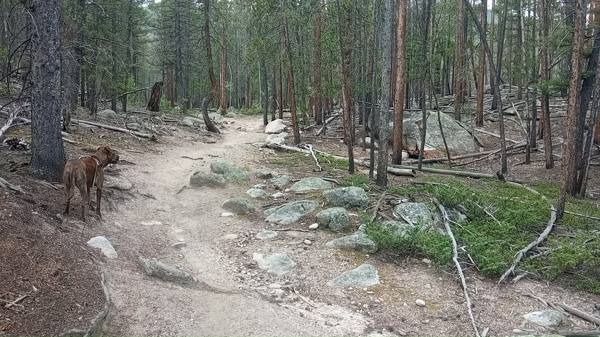
The trail soon started gaining elevation in anger and my heartrate stayed pinned at 150bpm for the next 1.5 hours until we hit the local crest. I wans’t moving fast but campsite is at 9,200ft and it was uphill for the 2 hours thereafter.
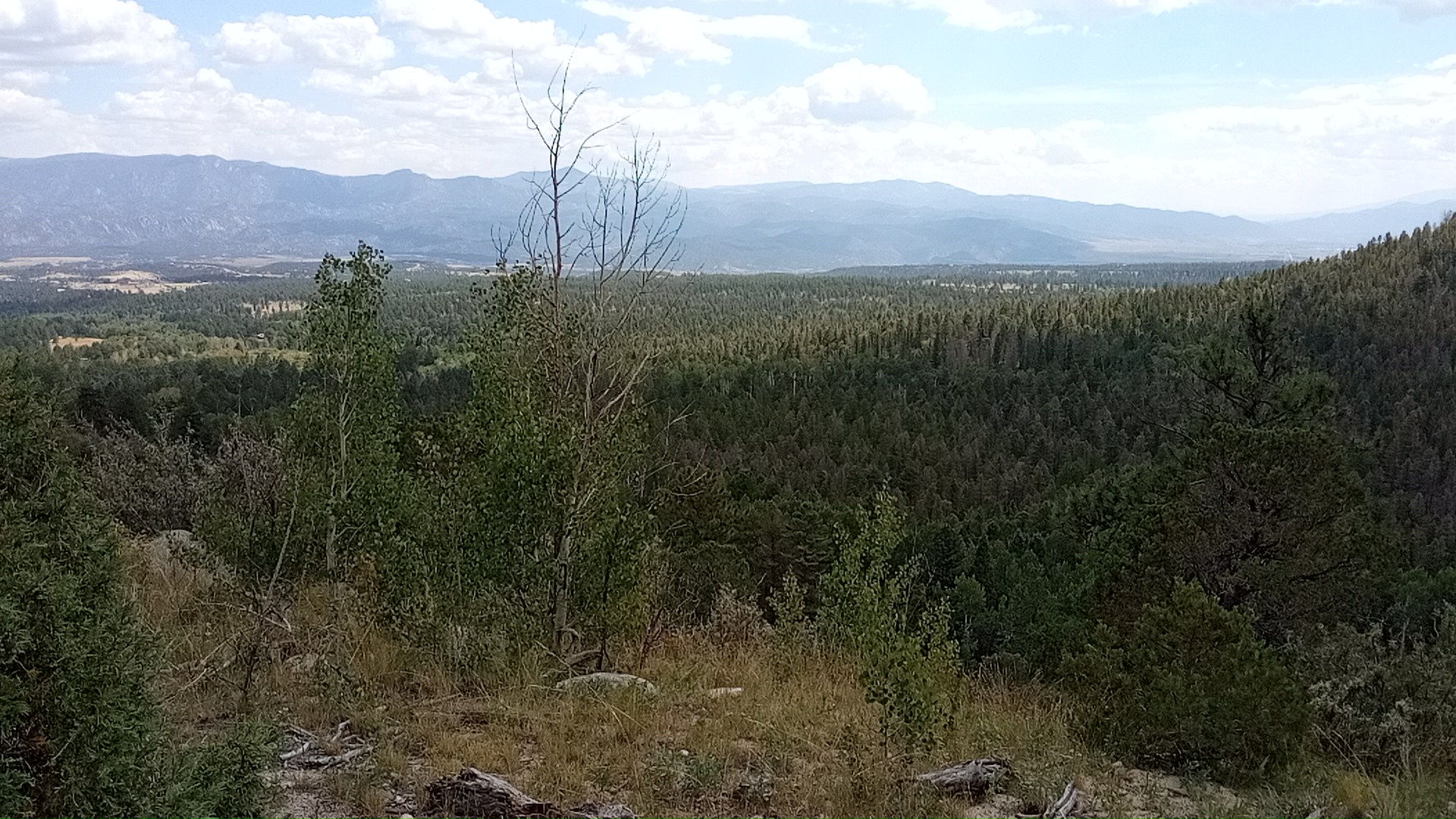
I wasn’t sad to start the downhill portion. Going downhill is as hard in some ways, and most of my falls and near-falls in the past have happened on downhills. But it gives the heart/lungs a break, becoming more of a path-picking, balancing, and thigh-burning exercise.
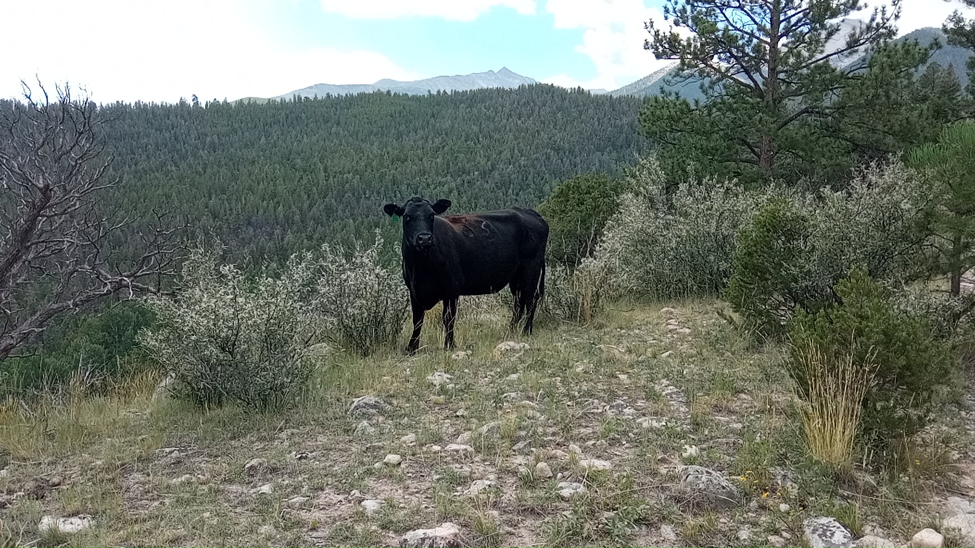
Manure on the trail indicated cattle (and trail horses) also use the path. There were places too narrow for humans to pass on the trail, so if one met a cow at that point one would have to wait for the cow to move. Oddly, Muffin didn’t react to the cattle at all the way she does at camp. Maybe it was fatigue, or being away from Her Area to guard.
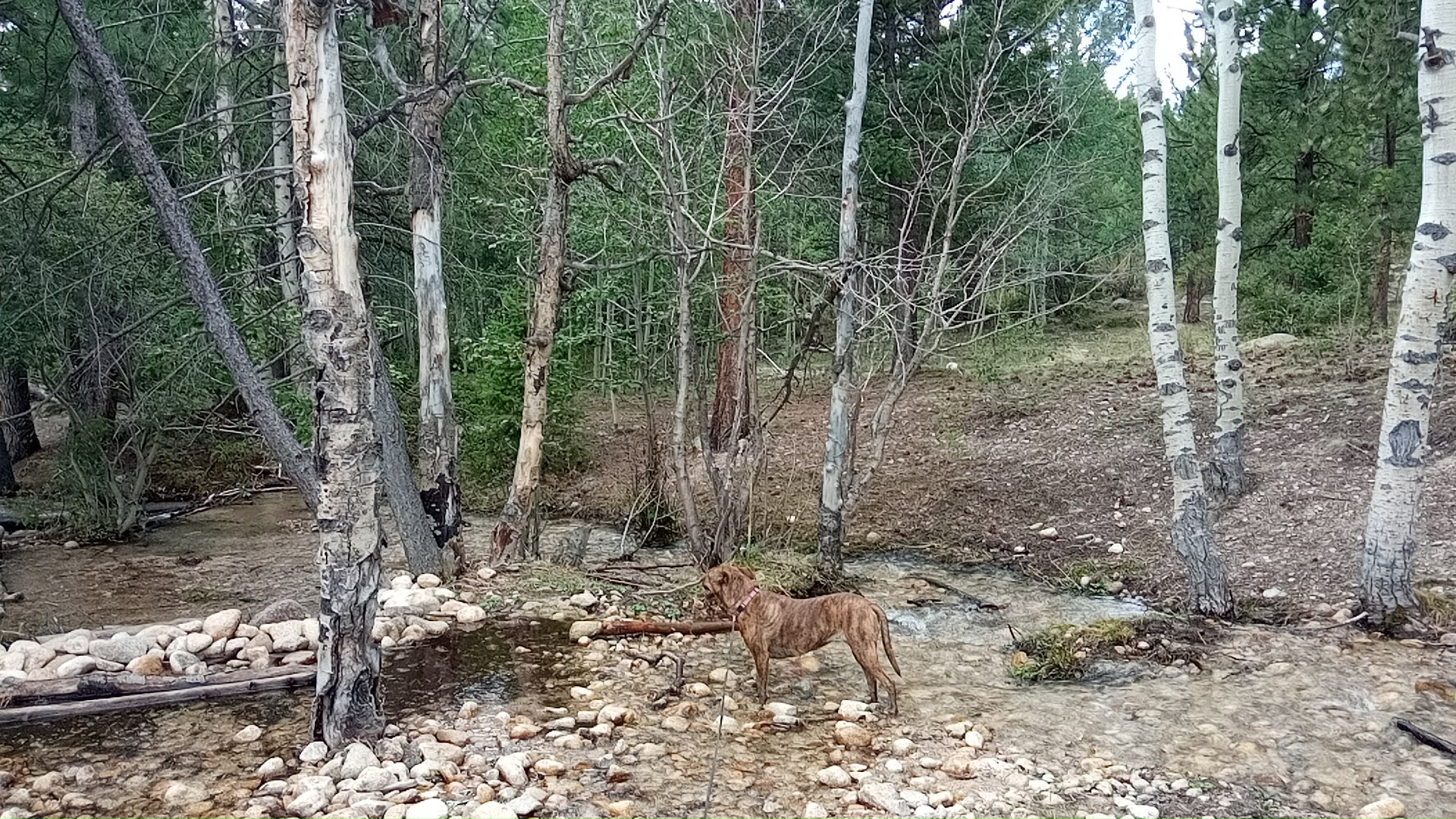 I didn’t tell her (wanted it to be a secret) but I knew there would be the creek at the trailhead for Muffin to walk in and drink from. It took no urging on my part for her to hop in. Normally we’d keep moving but this time I let her stand in the creek several minutes to cool down from the hike.
From here it was an easy slightly-downhill mile back to camp.
the comedy of errors begins
I was still a bit loopy from the hike when we got back.
shortbread disaster
I’d started shortbread on LO, judging we’d certainly be back in 3 hours. Made it with a few minutes to spare but dropped it while unloading, about half landing on the floor. Muffin liked this (once it cooled enough to let her near it).
pic album disaster
I went to upload the hike pics you see here and accidentally deleted all the 2021 pics from the webserver. Ugh.
It’s not a deadly error, as I have all the originals. The tough part is figuring out what I had uploaded before. After a couple of course I think I have it about 80% right. Then I spent a few more minutes tweaking the backup scripts to cover the pictures, too.
laptop disaster
While the thumbnail generator ran I poured another pint of water to counteract the hiking water loss and immediately dumped it over the laptop. I powered it off, turned it over, and started a fan blowing on it. No harm that I can tell.
plans
I’m not going to do anything else cognitively challenging this afternoon: I’m 0/3.
I hadn’t realized it was a holiday weekend until I saw the traffic and heard the noise. I’m might move on Wednesday after the Monday-holiday crowd is safely out of the way.
comments
twitter comment thread for this post