Hueco Tanks

Spent the weekend at Hueco Tanks state park, my first stay in such a park in my fulltiming adventure. I want to see state parks but I don’t necessarily want to stay in them.
A couple of reasons for this:
-
Dispersed camping (“boondocking”) is not available.
-
The existing sites have amenities I do not need and do not want (water, or water and power)
-
which means if I want to camp I have to pay a premium for something I don’t want.
Daily admission is $7, the water sites are $12 and the water+power sites somewhat more.
If you have the $70/yr Texas State Parks Pass (which I do) you get free admission and half price second night of camping. So two nights was $12+$6 = $18. $9/night. Which is $9/night more than I am used to paying.
Here’s the spot. Purposely out of frame: picnic area with roof on left, water spigot on right.

The park was lightly attended today, and I was the only camper. According to the camp hosts this is due to the school season starting again.
The _huecos _(“weh-coh”) are pockets in the igneous rock caused by air bubbles when the magma was cooling. When these are exposed at the top of the rocks they catch and hold water. It’s weird to be in the middle of a desert and see water all around. They call it an oasis.
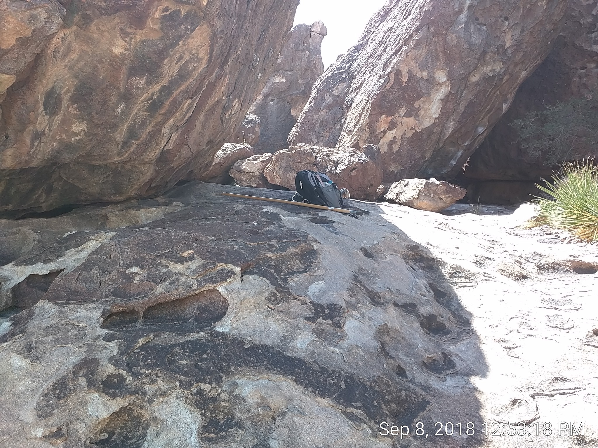
You can see some of the small huecos in this pic where I rested in the shade for lunch. Out of the frame to the right is a 5-6’ hollow with several inches of water in it. Hence the yucca-like plant in the foreground. Can’t remember the actual name right now, but it’s not a name I recognized.

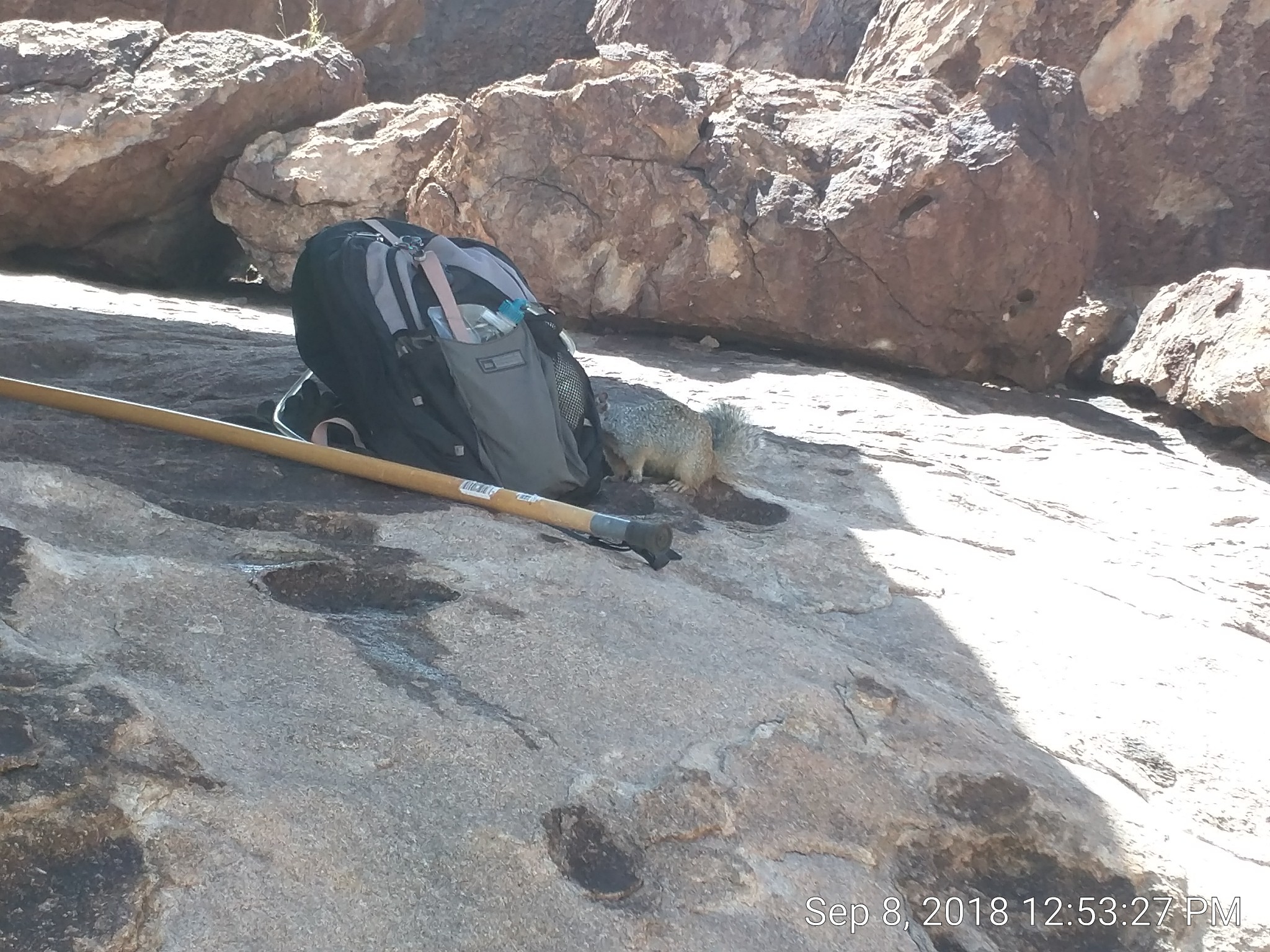
In the 15 seconds it took me to walk down, turn around, and take that pic a rock squirrel came out to inspect my pack. He is to the right of the pack in the pic above. I zoomed in:

When I walked back he calmly strolled back into his hidey-hole under the rock on the left.
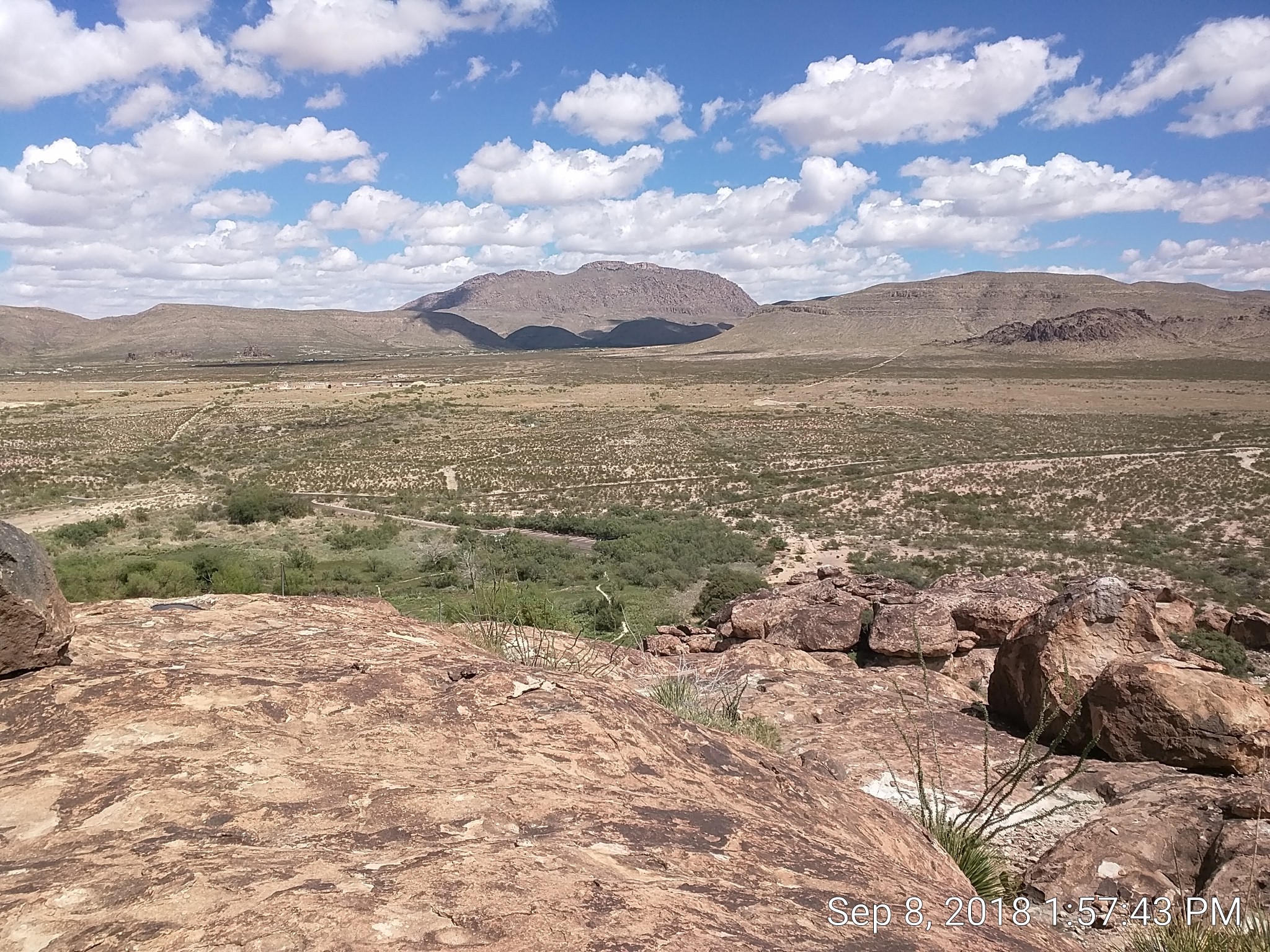
View from the top:

pictograms
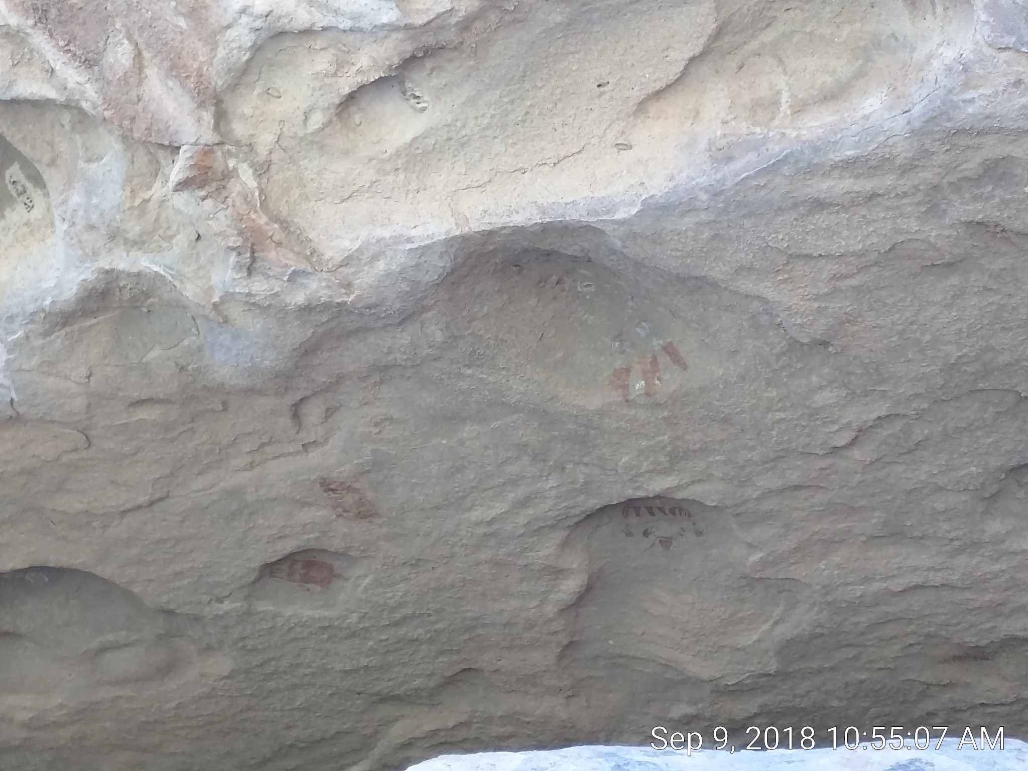
The publically-accessible rock imagery here has largely been vandalized in the 1970s. You can still make out some of it:

In this pic the imagery has been degraded from restoration efforts to remove the graffiti. This particular spot is accessible without a guide. I went there yesterday and couldn’t make sense of it.
Today I took a volunteer-guided walk. Our guide, a Meso-Indian and local amateur (non-academic) archaeologist with an excellent eye, pointed out what was going on and the story of the mural.
By this point on the tour I was a little disappointed because we had not gone into any controlled areas. That was about to change.
We would end up in an enclave called Commanche Cave, soon to be renamed Mescalero cave after the Mescalero Apache from the Ruidoso area that came here for ceremonies. Here are some images from that ‘cave’:
[images lost for the time being]
To get there we did some surprisingly serious rock hopping. It was not a foregone conclusion that that everyone would make the trip (and back) without broken bones or worse. It was a hoot to see people suck it up, take chances, and help each other.
Our guide had mentioned as an aside that he graduated HS in 1971, which would make him about 65yo. I think he was 2/3rds mountain goat. He picked out a line that would be possible for the average tourist if that tourist had some guts.
7 out of the 9 in our group attempted and made it. Two stayed behind. The youngest person (maybe 1st grade) had a meltdown, but a half-hour later she was romping around like the above mountain goat’s little sister.
We saw these pristine pictograms, apparently Apache depictions of Sky People masks:

megafauna
In the Paleo-Indian period (back about 10K years) there were woolly mammoths here, saber-toothed tigers, and dire wolves.
This pic is from a squeeze point where paleo folks apparently surprised (or drove) mammoths. There are elevated positions on both sides where spearpoint evidence suggests people used speed-augmenting atlatl (pole-throwing arms) to take down the huge animals.
Here Fernando points out a mammoth rub, where they would scratch themselves:

The land is several feet higher now due to mountain erosion so you can get a feel of how big they were.