daily cardio: what is that hilltop building?
When I first got here I noticed there was some kind of building on the highest point of this hill to the north:
I thought it might be a fire lookout but I’d never seen one built on the ground rather than on an elevated platform.
I originally planned to to camp at the base of that hill but:
-
there was no verizon signal at all
-
there was already a camper there in a white SUV
So I found a place a couple miles away with spotty Verizon and took a pic through field glasses:

and later through celestial binos, which have such strong magnifcation they are usually mounted on a monopod or tripod:

In that pic you can see a small outbuilding just below the larger structure. Generator hut? Toilet?
It has been warm enough I didn’t want to hike uphill to the base, then hike up what appears to be a brutal approach to the structure, then back again. Today, though, was supposed to stay in the 60s. Dog and I ate breakfast and started off.
There was some smoke in the distance and the sound of hovering choppers so I figured there was a forest fire in the distance.
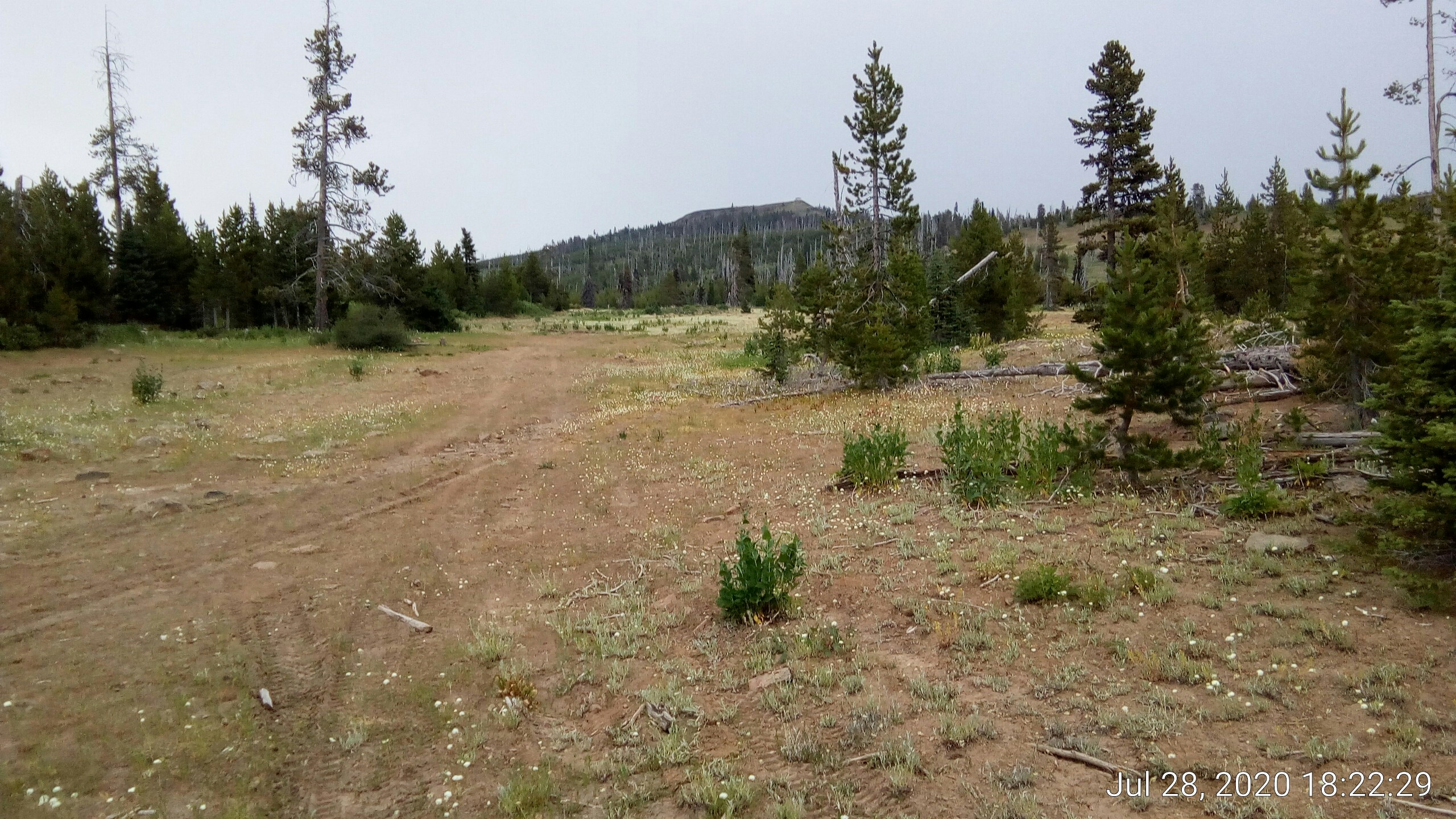
We reached the base of the hill where there is a small camping area. A couple undeveloped sites, one site with a table and fire ring, and also a pit toilet. This sign (which I had ignored before) suggested the target was called the Indian Rock lookout:

At this point I was pretty sure it was a fire lookout point, but I suppose lookout could have a “scenic overlook” meaning.
The road continued steeply uphill, ending where the SUV was camping. I hadn’t noticed the trailhead leading from the turnaround up there previously but I was driving then and had other things on my mind.
Walking up to the turnaround illustrated why I had not seen the trailhead. It’s not obvious even up close:
[caption id=”” align=”alignnone” width=”2560”]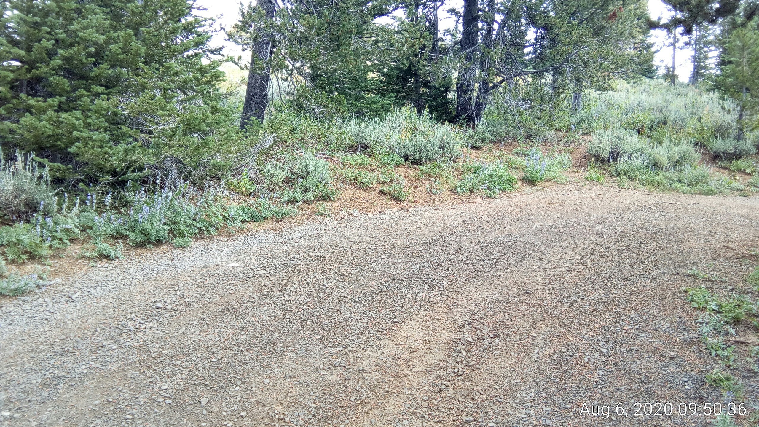 trail starts on narrow path about 20% in from right edge of image. White SUV in small pull-out to the right of this frame.[/caption]
After ducking the treeline we are greeted with an entirely different view. The lookout is obscured from view by the rocky outcropping we will hike to the left of:

Getting close enough that I can see a vent on the outbuilding. Looking more and more like a toilet:

While I was taking that pic I heard dogs barking. Then I saw two big dogs and a person near the building. Maybe the camper had hiked up, too.
Walked off the trail to the outbuilding, noticing a tube leading from it. I suspected it was for urine diversion:

Bingo, it’s a composting toilet:

Walking back to the trail I noticed there were low clouds encroaching on the west:

As I got closer to the main structure the person I saw hailed me. She said I was welcome but she was too busy to chat. Oh. It’s a forest ranger who has been parking on the loop and walking up to her “office”. Don’t know how I missed that possibility.
I mentioned the fire I thought I saw and she advised there were many fires in the area working at the same time and she was coordinating resources, hence the workload. The fires were presumed to be caused by yesterday’s storm and lightning.
She invited me up onto the railed walkway area around the station as it was safer than walking near the north cliff face. Before she returned to work she mentioned that a family of mountain goats usually hangs out on the far side cliff but they were absent today. Dangit, seeing mountain goats is on my bucket list.
I tied Muffin to the railing and mounted the walkway. The interior of the station had a small bed, rv-sized stove, radio gear, etc. I did not look closely or take pics considering that to be an invasion of work- and personal space.
These pics are taken from the railed walkway around the station. Other than the station itself and my van in the distance I don’t think there are any signs of man. No power lines, nothing:


In this pic the van’s location is circled in red. Here’s a link to the full size image where you can see a few pixels of white van.


As I was leaving the Ranger came out to offer advice on avoiding fires and the attendant emergency vehicle traffic. I pointed out my van in the distance and told her I’d be in the area a few more days unless fires encroach. She told me she’d noticed my my campsite and had been watching over me. :-)
Once back down on the turnaround I noticed a propane tank in the trees:

I assume the ranger decants propane into small containers to schlep up the hill.
Further reading
This subject of this article might be the ranger I met. It says the structure is 16’ x 16’ and that the seclusion is real:
>...65 miles from Pendleton in one direction and 30 miles from John Day in the other.
Another article on the overlook.